New technologies that are based on the principles of geolocation can increase the productivity of law enforcement agencies. It is a question both of the detection of crimes and their prevention. This proved, in particular, by the experience of Western Europe of using geospatial data. Everyone has seen movies about how criminals get ahead of the police. The law enforcement, in turn, has always relied on predictive actions that allow the offender to be detained before he commits the next crime.

One of the surest guarantees that a criminal will not have time to carry out the plan is to use spatial technology and GIS for law enforcement. More details can be found on this site. Today, criminals enjoy all the benefits of progress, so we must look for innovative ways to overcome threats. Involving GIS and other cutting-edge law enforcement software and technologies in investigations, such as detecting and tracking crimes, makes law enforcement more effective in preventing them.
Geospatial data allows you to track versatile police resources, as well as be useful to customs. When suspects are moving, it is possible to follow their path. Geospatial data plays a crucial role in the development of law enforcement software, which is why police are adopting them around the world. For example, GIS was first used in New York in the early 1990s. The result was a sharp decline in crime.
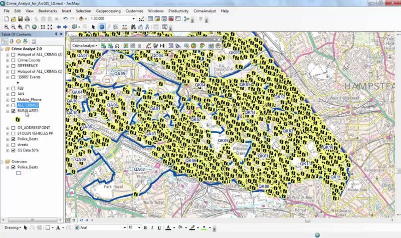
The use of GIS to obtain real-time information and awareness of the situation has finally reformed law enforcement in New York. In 1993, before New York City police took up crime mapping software for law enforcement, there were about 2,000 homicides in the city. As of 2019, this figure has dropped to 352.
In terms of performance, GIS relies on real-time information exchange, rapid deployment of resources, preparation of effective strategies, feedback, and response to the event. It uses GIS as a standard operating platform to analyze new trends in crime. On the map itself, some marks indicate the crime scene and allow you to take appropriate action. GIS has reduced the number of violent crimes in Los Angeles and Baltimore. And in 1996, the National Institute of Justice established a criminal mapping research center to facilitate the research, evaluation, development, and dissemination of GIS technologies.
Analytical-driven law enforcement is an advanced technique of modern law enforcement

Topics of operational analysis, analytical software, tactical analysis, use of GIS (GIS), strategic analysis, open-source analysis, and risk assessment promotes the concept of law enforcement software, driven by analytics. There is a general perception that analytics and intelligence are more common in security services.
Why is this aspect important in the police?

Analytics, in the classical sense, is applied to the activities of security services, in particular, including external surveillance. But in the police, it is much more critical. In policing, “analytics” is more about criminal analysis. Simply put, “analytics” is data plus analysis. If we consider information as a raw product, then analytics is what we get after processing a raw product, and then use it as a tool in the fight and prevention of crime. In the EU, the analytics-driven law enforcement approach is at the heart of policing strategy, and many crimes are solved through the use of this concept. So, is analytics-driven law enforcement a way of using the information that the police receive?
This is a whole philosophy or business model. It is the cornerstone of modern policing. It shifts the focus of police work from crime response to prevention and prevention, ensuring that those who fight crime are one step ahead of criminals. The police receive information in various forms, but the data itself is of no use. It needs to be compared, analyzed, and disseminated. The analysis and interpretation of this information determine the response. And the policy of the police and allows resources to be directed to where they are most needed. This is complemented by “risk analysis,” which is also an essential part of analytics-driven law enforcement.
Information based on geospatial data and systems analysis is becoming increasingly crucial for internal security missions, says David Alexander, a senior technologist in the Department of Homeland Security’s Science and Technology Division. Imagine that there is a strategy to reduce crime radically. Of course, it must be based on information about the location of our resources and the ability to move them in a given situation. It is also essential to know what is happening in a particular region:
- What is the exposure of the population there,
- History of radicalism
- Is the likelihood of a sudden outbreak of violence.
Such technologies are used to develop the effectiveness of strategic planning and tactical decision-making. In the future, geospatial data and artificial intelligence will be involved in all types of law enforcement. Various law enforcement agencies will include technology as the latter develops. Local and spatial technologies, like Aspectum, can also help increase cybersecurity. For example, location fixation and subsequent tracking always occur in a specific sequence – one after another.
Locating is useful in the fight against terrorism

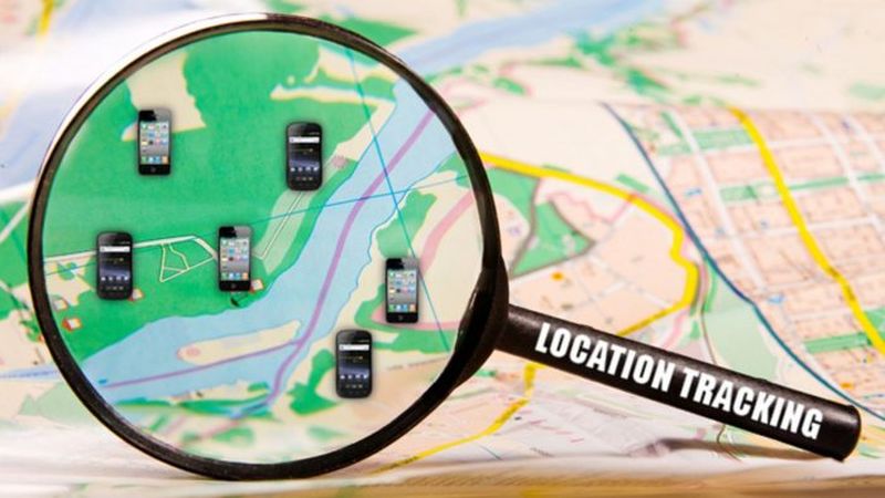
Analysis of social media posts and location tracking are standard methods used by law enforcement agencies to take preventive action. Even to locate those suspected of terrorism or criminals, their location is often tracked through social media recordings or telephone conversations. For example, in New Zealand, there are only 600 police stations. However, people live everywhere. Therefore, geospatial technologies are essential for understanding the location of people. Through the use of geospatial data, we have changed the way our people are deployed.
Another exciting addition is the use of speeding fines. Because smartphones use geospatial data, the use of social analytics allows police to keep the issue under control. The very notion that the use of geospatial technologies can prevent crime is exciting. For example, if a car was involved in an assassination attempt, we can find it using digital systems in it. In the event of an accident, geospatial technologies can be used to redirect traffic and establish connections to create a so-called “emergency corridor. Geospatial data helped detain the killers. Before that, investigators in the case used all available means, including:
- Statements of witnesses,
- Removing cameras
- Listening,
- DNA analysis,
- Forensics, etc.
But the case did not move until police found out that the vehicle was in place at the time of the crime.
Illegal immigration and border security

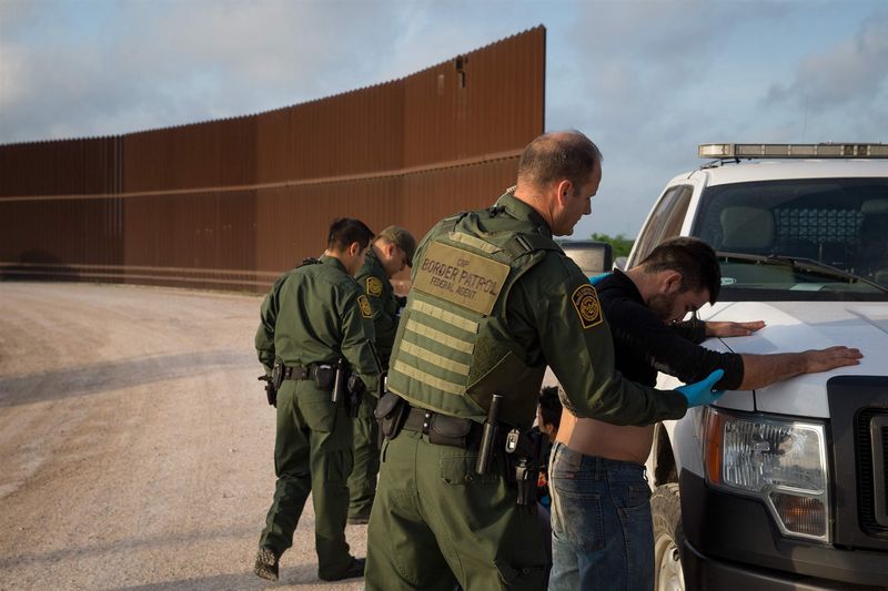
Undocumented migration and the influx of illegal refugees are causing political upheaval and chaos in many countries. In turn, geospatial technologies can help track migration and enhance border security. Besides, there is a situation when someone wants to get to another country without a passport or other identity card. It is sometimes said that they live in rural areas that are now engulfed in war.
So, they crossed the river to escape. Or tell a different story. Geospatial tools allow the migration officer to verify this information quickly. The main challenge facing GIS for law enforcement today is to improve security oversight. Big data and geospatial data will change trends in this direction. It is a crime scene analysis in a situation where geospatial analysis and artificial intelligence can help in decision-making and allow law enforcement agencies to perform their work better.


